At Bluebell, We understand the dynamics of distribution companies and the challenges they face on their mission to improve their processes in Sudan.
Therefor, we recognized the unique opportunity to use GIS in this sector. Our system provides distribution companies with a state-level vision of the art robust enterprise GIS solution based on the latest technologies. It also provides a scalable and sustainable solution that fulfils the company’s current needs with the ability to grow simultaneously with distribute its growing requirements.
We work closely with our clients to ensure the optimum knowledge transfer of all project procedures to all concerned staff.
The main objective of the proposed solution is to empower clients with a GIS system which is user friendly, easy to use, and fulfils the company’s needs.
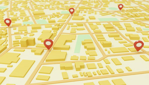
Geomarketing application is used to find out sites and regions potential, sites and regions revenue prediction, new sites Capex and Opex analysis, outdoor advertising management, surveys data analysis, executive control and reporting.
We developed our own solution which is a self-contained system based on Esri platform. It has the potential to be integrated with other system for data exchange such as BI, CRM and GIS systems.
Product Features
Regions revenue analysis
New site revenue analysis and location analysis
Optimize market penetration and Franchise network to align outlet locations with customer locations and prospect areas
Executive control
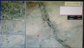
Census is a very expensive process specially in large countries such as Sudan and for Geo-Marketing purposes, Bluebell uses High Resolution Satellite Imageries (50 cm) to classify the potential areas. The lack of infrastructure in different region in Sudan is because of the feasibility of investing there. Bluebell has noticed that most of the infrastructure providers are looking for new markets that will be feasible and has the potential to foster investments. We classify several areas in Sudan and reclassify them from rural or infeasible areas to feasible areas. The project saves time and cost because the analysis of High Resolution Satellite Imageries is much cheaper than doing regular surveys. The below are some examples:
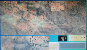
The management of any socio-economic situation require advanced management information technology in Sudan, as it is one of the largest countries in Africa . Bluebell has several successful implemented project in this field across Sudan using High resolution Satellite imageries (50 cm) to measure the status of socio-economic situation. We have set our own measurement definition criteria to act as benchmark in classification. The below are some examples of the classification:
Recent Comments