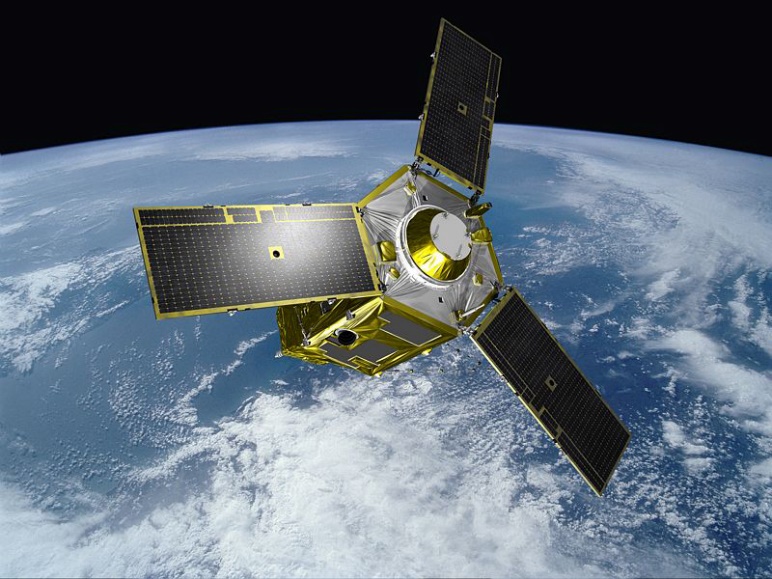
1. Satellite Imageries:
We are reseller to several high resolution satellite imageries, in addition to our experience with a different satellite imageries processing. The followings are some sub-services we can do:
- Pan-Sharpening
- Ortho-rectification
- Land Cover Mapping
- Topographic Mapping
- LIDAR
- 3D Modelling
- Aerial Triangulation
2. Digital Maps Production
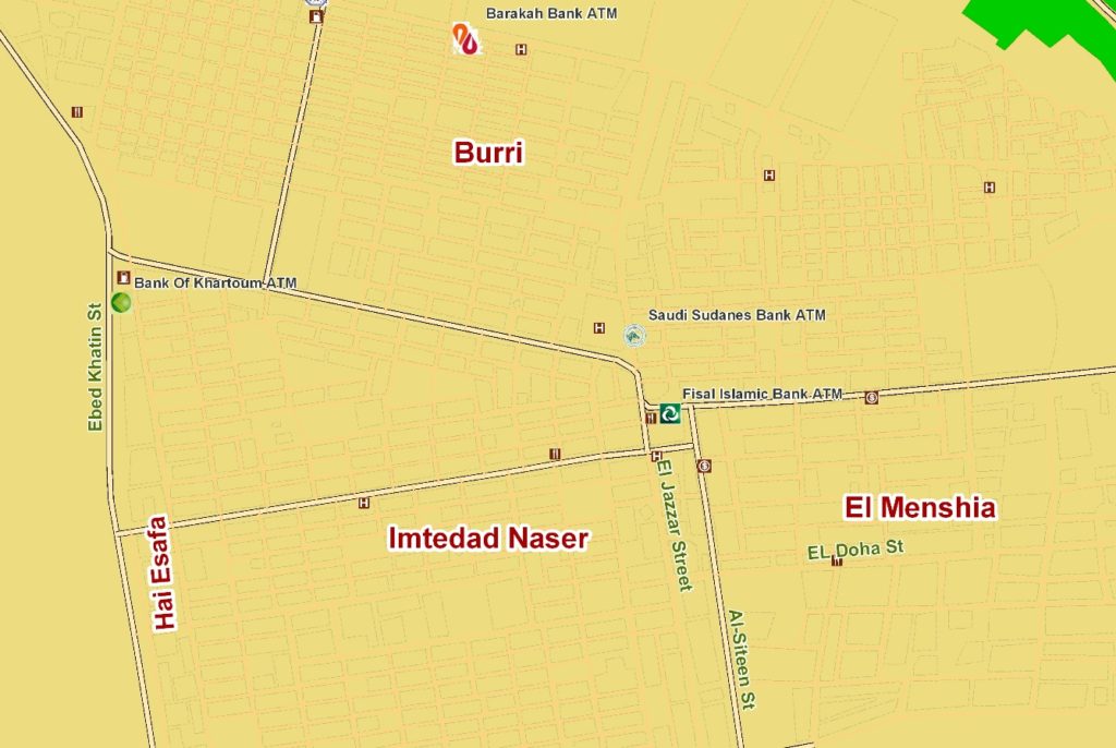
Bluebell produced Several Sudan Cities in different scales such as (1:10,000 – 1:5,000 – 1:2,500). Around 27 cities around Sudan are totally mapped in digital format.
The latest most accurate detailed Geospatial databases had been built over built-up areas:
- Latest and most accurate navigable roads network.
- Largest set of POIs.
- Largest coverage for Geo-coding data.
- More accurate representation of land uses.
-
Maintaining and Tuning Geodatabases
Having your geodatabase maintained and tuned according to your work environment is our main target at technical support team. This task involves activities like the following:
-
Maintaining the geodatabase
Such as compressing the database, updating statistics, performing backup and recovery procedures, and altering storage locations to maintain performance levels.
-
Tuning the geodatabase
certain settings in the DBMS can be altered to improve memory usage, reduce resource contention, and improve performance of the geodatabase
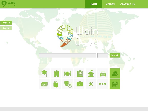
3. Wain Finder
Online location search directory had been implemented to find anywhere in Khartoum (www.wainfinder.com).
WAIN helps users to reach places easily and specifically , Wain platform allows you to explore the reviews about the place ,to create a competitive and healthy environment through the internet

4. Data Collection
With widely distributed Data Collectors’ network, quality information is captured and delivered, maintaining geospatial data precision, details, reliability, and updates:
- Ground Control Points (GCPs) collection.
- Base map features Data collection.
- Geo-marketing Data Collection.
- Observatory Data Collection.
In addition, Bluebell built our in-house data collection model using high tech to collect and process data easily, Our technology allows you to collect 7,000 sq km in 10 days which is equals populated area in Khartoum state
5. Market Research
Regardless of the field study or preference for defining Data (quantitative + qualitative), accurate data collection is essential to maintaining the integrity of the market research
Types of provided market Data:
- Surveys: using latest PDAs.
- Interviews: Structured or unstructured one-on-one directed conversation.
- Focus Groups: Structured interviews with small groups of like individuals using standardization questions.
- Bluebell help you better exploit regional potential with your outside sales force.We show you how to increase turnover and efficiency by adopting a territory structure that’s perfectly attuned to regional market conditions. Clients can also use our sales territory planning software to plan, optimize and implement outside sales, reseller and partner networks.


6. Network Planning
We are using spatial modelling to facilitate efficient network planning and solves a wide range of tasks for executives as well as for engineers across the enterprise. Distinctive for intuitive usage and advanced GIS platform our model was developed according to specific requirements and needs of technology oriented clients.
The accuracy and technical depth of the software, combined with ongoing investment in new technologies make our model a complete solution that will benefit today, tomorrow and well into the future.
With this functionalities excutives can:
- Evaluate and make decisions on required budget for initial or current network planning, expansion.
- Decide what kind of new services and technologies should be launched to better satisfy customers’ needs.
- Analyze your and Your competitors network quality and coverage.
- Visualize different kind of information which facilitates and quickens workflow for Technical.
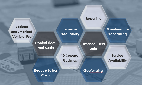
7. Vehicle Tracking System
Bluebell advanced Tracking solutions allow you to have a much deeper insight into your fleet’s performance. Our solution is also easy-to-use, and we help you get started with tracking your fleet by providing free training sessions from our knowledgeable staff. They will teach you how to best utilize your new GPS tracking software to accomplish your fleet’s goals.
Below are just a few features of our Solution: